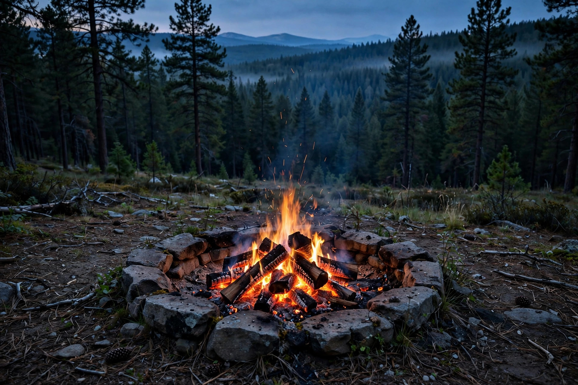
If you're anything like me, you love a campfire. Without one, camping can feel as if something is truly missing. They provide warmth, comfort, security and raise morale. Many conversations open up organically, over the fire. Out West, where I'm from, the forests have become tinderboxes during the summer, leading to confusing fire restrictions that last well into the fall. Many times, outdoorsmen are left scratching their heads, wondering where or when a fire is allowed.
"Can I have a campfire?" is one of the most common questions in every Oregon camping group, and the honest answer is always the same: it depends on where you're standing, and it might have changed since last week.
Fire restrictions aren't one statewide rule. They're a patchwork of forest orders, BLM closures, and seasonal rules that get tightened, loosened, and extended on short notice. A snapshot of today's rules is stale by next weekend. What's useful is knowing how to check for yourself. It takes about five minutes, and it's the difference between a legal campfire and a very expensive one.
Start with the land manager
Figure out whose land you're camping on, then check their current orders:
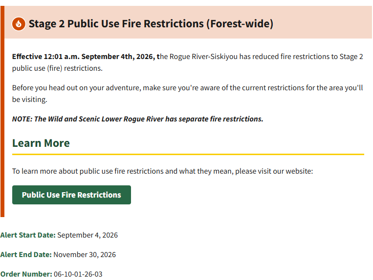
National Forest: every forest has an alerts page. For my home ground it's fs.usda.gov/r06/rogue-siskiyou/alerts. Whatever forest you're headed to, search "[forest name] alerts" and you'll land on it. Read anything titled Public Use Restrictions or Forest Order with a current date.
Central Oregon (Deschutes, Ochoco, Crooked River Grassland, Prineville BLM): centraloregonfire.org is the single best source, or call the fire info line at 1-800-523-4737.
BLM land elsewhere: check the district page. The Prineville district office number is 541-416-6700.
Do this the morning you leave, not the week before. Restrictions get rescinded early when it rains and extended when it doesn't. Last year the BLM held its river corridor closures past the usual mid-October lift because conditions stayed dry.
What the levels actually mean
You'll usually see Stage 1 or Stage 2 (some forests call them Level 1 and Level 2). In plain language:
Stage 1: Wood campfires only in designated, developed campgrounds with established fire rings. No dispersed campfires. Chainsaws restricted to certain hours with a shovel and extinguisher on hand. Pressurized-fuel stoves and lanterns (propane, liquid fuel, with an on/off switch) are still fine.
Stage 2: No open fires at all. That includes wood stoves and charcoal. No chainsaws, period. Generators only with a spark arrestor in a cleared area. Pressurized-fuel cooking devices are generally still allowed, but read the specific order, because some Stage 2 orders are stricter than others.
That's the part most people miss: the level is a starting point, not the whole rule. The actual forest order is the law, and it can add or subtract from the standard template.
The overlays that trip people up
Even when the forest-level restrictions look permissive, smaller rules can override them:
River corridors. BLM river corridors in Central Oregon (Crooked, Deschutes, John Day, White rivers, Lake Billy Chinook, Lake Simtustus) ban all open flame, including portable propane fire pits. Your propane fire box that's legal ten miles away is illegal here. Only bottled-propane or liquid-fuel cook stoves.
Wilderness elevational restrictions. The Deschutes keeps elevational fire restrictions in its wilderness areas even after rescinding Stage 1 forest-wide.
Seasonal road orders. Places like Illinois River Road carry their own seasonal fire and parking restrictions on top of everything else.
Watershed and district closures. The Ashland Municipal Watershed, for example, is closed to camping and campfires entirely to protect the city's water supply. These don't always show up where you'd expect.
When in doubt, the most restrictive rule wins. If the river corridor says no and the forest says yes, the answer is no.
What getting it wrong costs
These are real orders with real numbers attached. On Forest Service land, violating a fire order carries a fine of up to $5,000 for an individual, plus up to six months in jail. On BLM land, the river corridor closures carry up to $1,000 and up to a year. Those are the maximums, not the typical ticket, but they're printed right on the orders.
The morning-of habit
Here's my actual routine before a trip, and it's the whole method:
Identify the land manager for where I'm camping. Open their alerts page and read the current orders. Check for overlays: river corridor, wilderness, seasonal road orders.
If anything is ambiguous, call the district office. They answer, and they'd rather explain it than cite you.
At the location I visited last weekend, restrictions were in place, so no wood fires were allowed. It was propane only which meant my own stove, since the lookout's was dead, and my propane fire box. That wasn't a guess. It was a five-minute check I did before packing gear.
The evergreen skill isn't memorizing this season's rules. It's knowing where the current rules live and building the habit of looking. Check before you burn, every time.